Utilities have prime importance in the development of urban and commercial centers all over the world. In the power and energy sector natural gas is the most economical and reliable source to meet daily requirements of the consumers. Natural gas is used not only on domestic level, but it has a major share in industrial and commercial sector, specially in third world countries where oil and other power resources are not readily and economically available.
Utilities are transforming themselves intelligently by salvaging useful parts of existing systems and incorporating new technologies to extend their capabilities. Supply of Gas (a basic social need) from stakeholders up to satisfactory level to end-users demands the best information management system. Diversified lengths of pipeline network, with large numbers of individual facilities (like Valves, PRS, TBS, SMS) – required surveys of their status, capacities and functions (while interacting in real time) with repeated maintenance and constant management if the system as a whole is to operate efficiently and effectively. Tied to each of this countless numbers of entities and links is information – the information on which operational decisions are made and monitored. Population, commercial and industrial sectors of Pakistan are increasing continuously; as a result, gas pipeline network is also expanding with the same pace. In this situation, management, operation, maintenance, safety, and inspection activities have become becoming very difficult.
To meet the challenges of continuous expansion of gas pipeline network, there was a dire need of such information system which could help SSGC for better planning, development, management, analysis, maintenance and operation of existing and forthcoming pipeline network.
Before GIS, most of the company’s assets information was scattered and on paper maps developed with traditional techniques, without any automated system. No centralized data management system for development, storage and restoration of the maps was existed. Maps were stored at Karachi, Hyderabad and Quetta regional stations. Most of them were outdated and with variable scales, several geometrical problems and disconnected information. GIS has the ability to maintain and integrates geographic data from many sources. SSGC started development of GIS from scratch in the year 2005, using in-house resources in terms of hardware, software, maps and human resource.
The vision of the project is to create and maintain an efficient GIS environment that fosters geographic data sharing within commercial, transmission, distribution, engineering, management and other departments of SSGC.
Implementation of GIS in SSGC has been divided in to two phases. First phase is limited to scanning and the storage of paper maps on digital media to save them from any loss or damage; and for the development of GIS base map and its implementation as web base GIS application for the understanding and visualization of seamless information for pipeline and its associated features along with land use data. Second phase will be the deployment of GIS base map at enterprise level for the improvement in business processed and its integration with other information systems like Customer Information System (CIS), Enterprise Resource Planning (ERP), SCADA, Vehicle Tracking System and Call Centre etc.
SSGC is the first utility company in Pakistan for the development of large scale and high resolution GIS system for its gas pipeline network that could also be used as base for other utility companies like KW&SB, KESC, and PTCL etc.
SSGC has stored all the paper maps on digital media and recently completed the development of GIS base map and its implementation as web base GIS application for the city of Karachi & Hyderabad (having 65% of SSGC’s customers). In recognition of this outstanding work, SSGC has been recognized by ESRI (the world leader in GIS), for excellence in GIS field with a 2006 “Special Achievement in GIS” award at 2006 Annual ESRI International GIS User Conference, USA which is the worlds’ number one GIS conference. For this award, SSGC has been chosen out of more than 150,000 organizations worldwide.
GIS system has been developed using world leading state-of-the-art technology. SPOT 2.5m Resolution Panchromatic Satellite Data as base map, Erdas Imagine Software for satellite data processing, AutoCAD for vectorization information from scanned paper maps; ESRI ArcGIS family software for the development of GIS and Trimble and Magellan GPS/DGPS for Field survey.
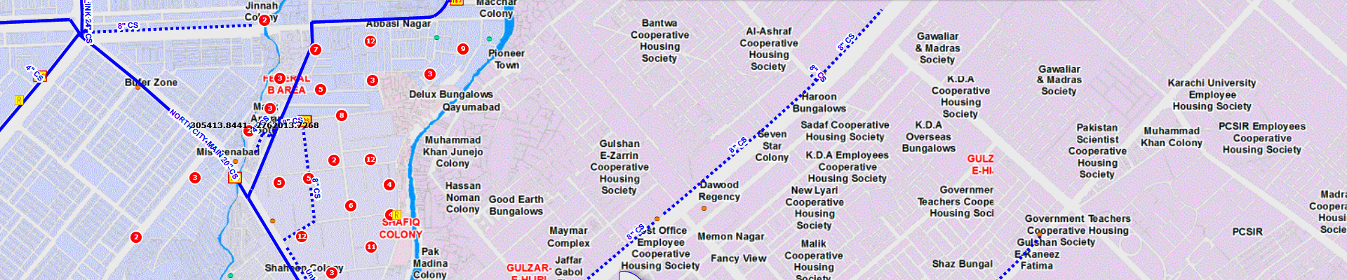
The SSGC’s GIS gives fast and easy access to spatial data and provides viewing, querying, reporting, charting, mapping of distribution and transmission network. The information is available in the form of layers from administrative boundaries (macro level) to gas pipeline fittings (micro level).